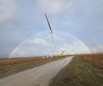
Renewable Energy Systems Limited (RES) has released details of Project Cyclops, a commercial investigation into lidar-generated turbine performance measurements. The measurement phase of the project, which concluded late 2013, saw a ZephIR Dual Mode (DM) installed on a Vestas V90 turbine in order to define and test a new measurement methodology for power curve assessments using nacelle mounted lidars.
The methodology aims to allow repeatable power curve measurement under a wide range of conditions and to be less sensitive to site complexity than standard mast based measurements. ZephIR DM was chosen for this methodology due to the capability of measuring upwind hub and rotor equivalent wind speeds, vertical shear, turbulence and veer. This in turn provided RES with ability to take both absolute and relative power curve assessments with both Hub Height (HH) and Rotor Equivalent Wind Speeds (REWS). A ZephIR DM lidar was deployed in horizontal mode on the nacelle of a wind turbine in Southern England, located 2.62 rotor diameter (D) from an IEC compliant met mast, and a second ZephIR DM adjacent to the met mast operating in ground-based vertical mode. Wind speeds were measured at 5 distances in front of the rotor 2.62D, 2D, 1.5D, 1D and 0.5D rotor equivalent wind speed calculations were performed using the ZephIR Turbine Rotor Equivalent Wind Speed (TREWspeed) post-processing tool at 5 slices over the rotor area. The ZephIR DM uses inclination and roll sensors along with the known polar beam scan angles to determine the Line of Sight (LOS) wind speeds at a 3 dimensional point in space. LOS pairs on opposite sides of the scan circle are selected at the desired height and translated into horizontal wind speed and wind direction; from this it is easy to identify any yaw misalignment. The campaign has provided strong evidence of the ability of the ZephIR DM to measure both hub height and rotor equivalent wind speed power curves in excellent agreement with the fixed IEC met mast and ground based ZephIR lidar respectively. At any specific measurement distance, the scatter of the measurements (i.e. category A uncertainties) was independent of the chosen measurement sector, which varied in terrain complexity. RES expect the category B uncertainty to decrease with decreasing measurement range, due to the effects of terrain becoming less significant. An optimum measurement distance of 1.5D is suggested in order to measure 5 rotor equivalent wind speed slices and minimise the distance in front of the turbine. A further test of this methodology is planned in complex terrain.


