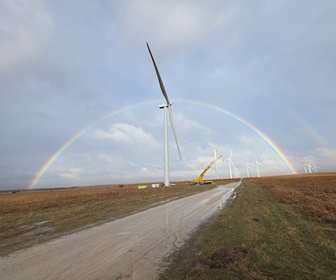
National Renewable Energy Laboratory (NREL) is making available more data that can help determine where to install wind turbines. The data from NREL enables anyone considering building a wind plant, or even erecting a single turbine, to understand how strong breezes tend to blow across a particular area and how energy from the wind can be integrated into the electrical grid.
Originally released in 2015, the Wind Integration National Dataset—also known as the WIND Toolkit—made 2 terabytes (TB) of information available, covering about 120,000 locations identified using technical and economic considerations. The newly released subset holds 50 TB, or 10% of the entire database, covers 4,767,552 locations, and extends 50 nautical miles offshore. Small sections of Canada and Mexico are included as well.
To make the information readily accessible, NREL utilised its ongoing relationships with Amazon Web Services (AWS) and The HDF Group. The HDF Group developed the Highly Scalable Data Service (HSDS) using the AWS cloud to provide users with easy access to the data, which is stored as a series of HDF5 files. The information can be narrowed to a specific site or time and analyzed using either a custom software solution or the Amazon Elastic Compute Cloud (Amazon EC2). The WIND Toolkit provides barometric pressure, wind speed and direction, relative humidity, temperature, and air density data from 2007 to 2013.


